


Hi everybody.
I've been lurking around here a while (see my intro thread) and wanted to thank you all for being such a fantastic resource.
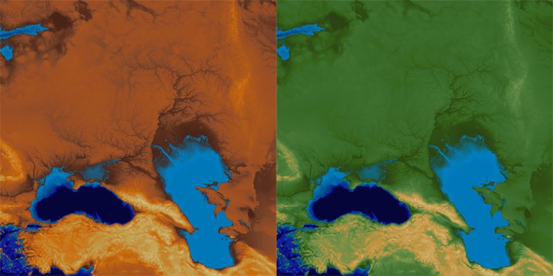
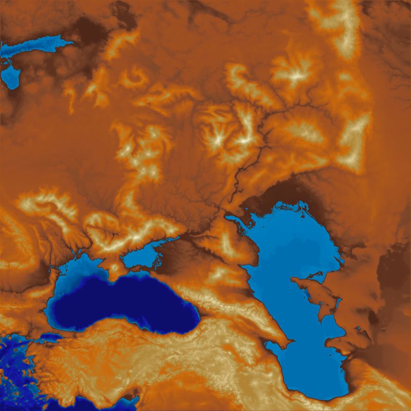
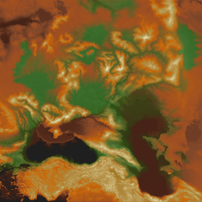
So here's some work-in-progress screenshots from my current project. This project was based on 1km satellite DEM data, and shows the world of Barsaive (roughly analogous to the Volga river basin/Black sea/Caspian sea areas), with 8+ additional major landforms/mountain-ranges added, and lots of fine detail work to get the fantasy river systems to make sense with the irl data.
It also draws pretty heavily on Tom Patterson's ideas about cartography (he runs shadedrelief.com). Specifically "crossblended hypsomertic tints" and ideas about displaying terrain forms to an observer. Thanks Tom!
I haven't added the river textures/specularity yet, or the water surfaces (which will hopefully be animated), and there are no name/place markers yet. Here are some shots of the last few weeks of work.
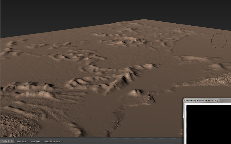
- Rough edit of new landform placement onto DEM data, stock hypsometric tints, edited hypsometric tints showing the new landforms, a crossblended hypso, and some shots of the final 3d object rendered in the UDK (NOT TO SCALE!).
In-Editor Shot 01: On the left we have the volcano known as "Mt Bloodfire" and the lava shelf of Death's Sea. Behind Mt Bloodfire stands the Twighlight Peaks, with the Tylon Mts further in the distance. On the horizon just up from the gun-sight are the Throalic Mts, home of the powerful Dwarf Kingdom of Throal.
In Editor Shot 02: Same location from a higher altitude, looking west towards the Ork Kingdom of Cara Fahd (just up from the gun-sight) and the Theran (roughly a high-magic roman-empire analog) controlled territory of Vivane & Sky Point (upper left of the image).
I'm having problems building my lighting at the moment, but I plan to add in a sky dome and some distance haze for the first-person version. I'll also be setting up a top-down view, which I can then render out as a large image mosaic for use in MapTool or another Virtual Tabletop.


 Reply With Quote