
 Reply With Quote
I like the first map best. So how does he increase his treasury, is he mining the crevice?


Here's a section of my elven character's domain, Lord Nomad. Its a crevice within his land and he has created several buildings around it to help increase his treasury. It is part of a main road, to its West it goes to a sadistic city called, Potsville and to its East it leads to the Kings city, which is called, Cintary.
.::Crevice Picture::.
.:omain::.
I have created [drawn] a world map of my DnD world. But for me to scan and post would take a lot of time, due to that it is 8' H x 7' L .... Yes no lie their, it is that large and till this day I have 4'1/2" H x 7' L in my possession. The other part is with my friends down south.
I would like some day to recreate this world map of mine but I do know it will take sometime learning the ins and outs of becoming a master cartographer.
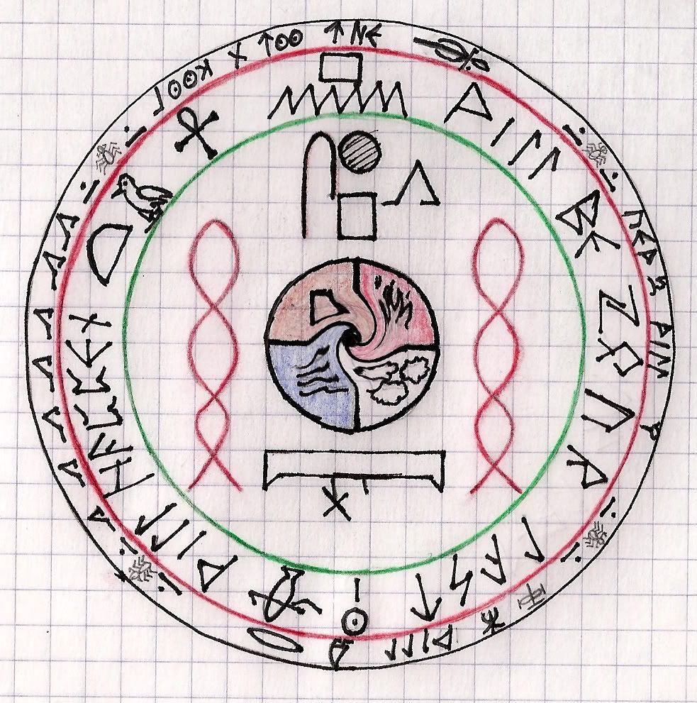
This here is just something I did for a event on NWN1, when I was DMing. Its a Ancient Relic that was found on an invader of a city.
I have several more free hand drawn maps, castles and such. I just need to dig them up and once I do I will post them within this post.
Thanks fellow carographians, hopefully you all like what you see..
DMT
I like the first map best. So how does he increase his treasury, is he mining the crevice?
Check out my City Designer 3 tutorials. See my fantasy (city) maps in this thread.
Gandwarf has fallen into shadow...


Ahh these bring back memories...thx for posting.
My Finished Maps | My Challenge Maps | Still poking around occasionally...
Unless otherwise stated by me in the post, all work is licensed under a Creative Commons Attribution-Noncommercial 3.0 United States License.
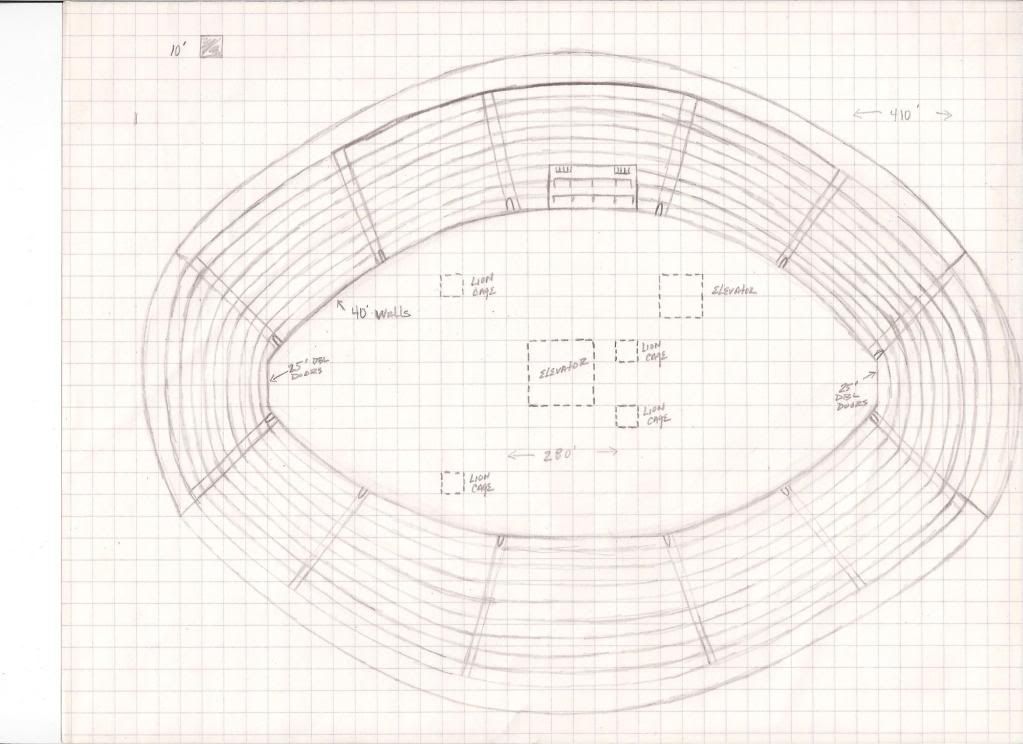
He built a little settlement within the crevice. As you can see in the 1st picture theirs several structures. Each those are a establishment, some are taverns, inns, weapon/armor smiths, arcane shops, etc. He also built a Arena, which is the oval shape on the map. And here's a close up of that
Also within his land their was several villages and a small town. At Potsvile he had a successful tavern called "Three Point Corner" , which as a front for his thief guild. Plus the ability he had to travel thru the realm, exploring and conquering whatever laid in his path.
DMT
If you want to create a digital version of your giant campaign map. You could scan it all in and slowly start to overlay your digital work over the image of the paper original. The original paper version doesn't need to be scanned with a lot of detail if you just want to get the locations and positions right. This will make using the layers in your software easier.
Thanks for showing. There is definitely a big draw to having gigantic maps to play with.
Really? When you mean creating a digital version you mean by taking a photo shot? Or??Originally Posted by Mr. Greengoat

Thanks,
DMT


Scan it in with a scanner then use new layers in a program like Gimp or Photoshop to draw lines, put in colors, etc. Layers work sort of like clear mylar pages for overhead projectors....just lots of them so that you don't mess everything up, just that one layer.
If the radiance of a thousand suns was to burst at once into the sky, that would be like the splendor of the Mighty One...I am become Death, the Shatterer of worlds.
-J. Robert Oppenheimer (father of the atom bomb) alluding to The Bhagavad Gita (Chapter 11, Verse 32)
My Maps ~ My Brushes ~ My Tutorials ~ My Challenge Maps
Awesome stuff. Love hand-drawn a hundred times more than digitally crafted. And this certainly is a reminder of games of ages past.
Dyson's Dodecahedron
an RPG blog, with a few maps
Pretty much all my maps are drawn by hand - ink on paper - and then scanned and contrast-enhanced
 Posting Permissions