


Really? I would've thought the other way around, Manitoba is filled with lakes, ponds, rivers, and creeks. Maybe its a north south thing instead. Hmm, looking at the map it looks like it's actually a NE SW thing...Originally Posted by Josiah VE


Really? I would've thought the other way around, Manitoba is filled with lakes, ponds, rivers, and creeks. Maybe its a north south thing instead. Hmm, looking at the map it looks like it's actually a NE SW thing...
Okay, Manitoba does have 100,000 lakes, so there is a lot of water standing around, but most of those are in the north. In the spring everything does get pretty swampy because our soil is like clay and it doesn't really drain and the city is in a floodplain.
In terms of potholes, I'm wondering if it could be that there aren't too many around Winnipeg because there used to be a massive postglacial lake here, flattened out the terrain a bit?


I agree Alberta is gorgeous it has such a diverse landscape. Everything from mountains, exposed canadian shield, badlands, prairies, foothills as well as part of the cypress hills that have pretty old rock because they're like this elevated 'island' area that missed out on getting carved away by ice/water. Super unique bit of landscape.
Yes Lake... Agassiz was massive. I think its actually possible to visit and see the old shoreline of that lake.
I Imagine that it would have made a huge difference to general topology in the region, especially when everything drained out of it. It would probably have smoothed out a bunch of the uneven mixture that got dumped by the glaciers that form the little baby lakes and sloughs that litter the landscape.
I often get stuck up on big things like plate tectonics when thinking about topography/geology also to a lesser extent I'll consider water erosion in a world but in northern regions the effects of glaciers thousands of years ago can effect things so much. wind erosion is something I overlook too. we have quite a few cases of sand dunes here that have since been colonized/stabilized by plants that form undulating gentle hills that are now mostly pine forests. (Because of their good drainage and lack of nutrients). I don't know why but I'm really inspired to refine some of my fantasy world maps with this in mind.
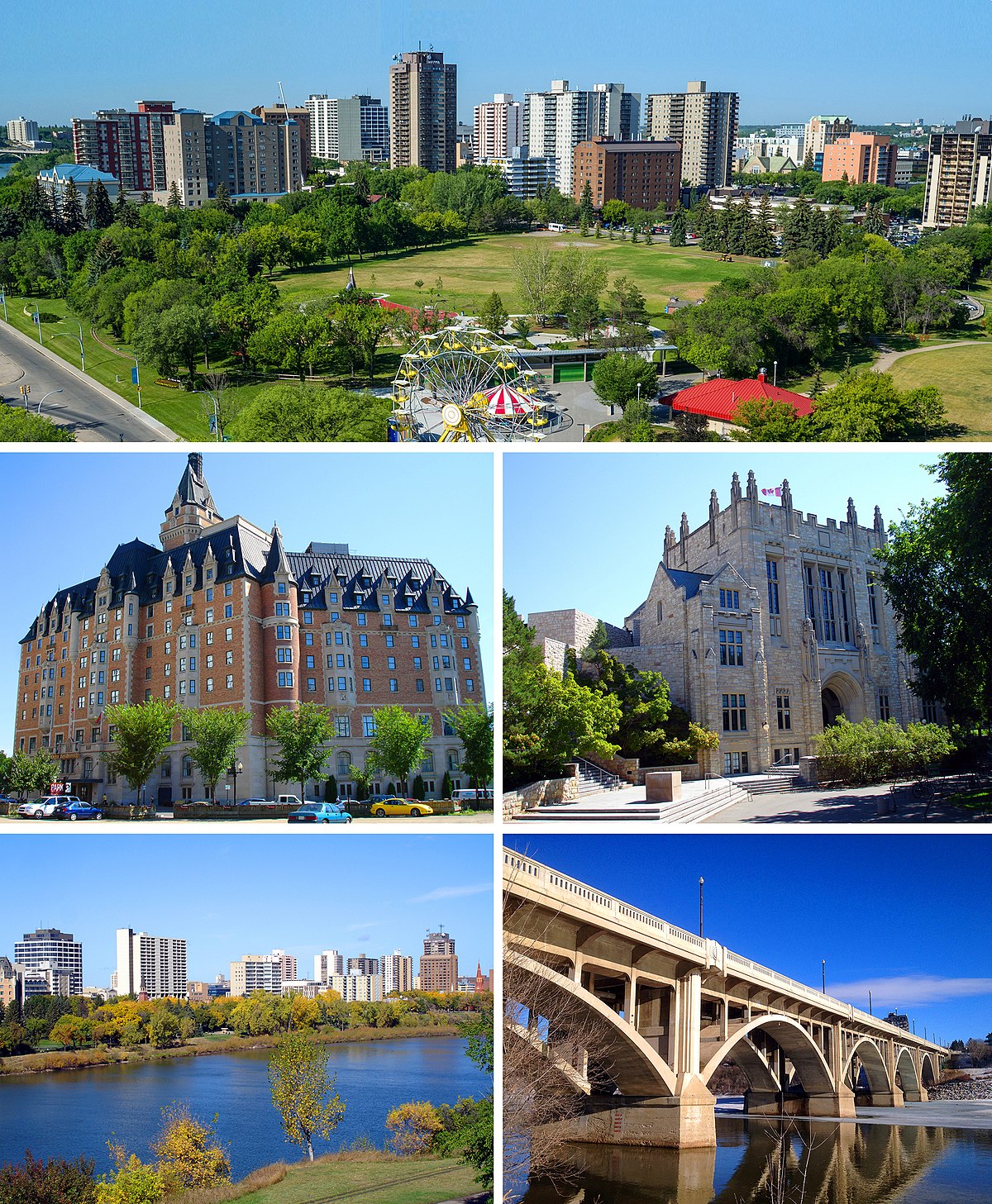
As for Saskatoon itself its a really pretty city. The bridges at its core are very unique aside from the very utilitarian ones that have been built much more recently. I do enjoy visiting there. I have been stuck there myself a couple times due to snow storms.


That is correct! You will see a distinct 'climbing out of the lake' going through the national park and also a transitional point somewhere around Morden, and of course, a transitional point as you head through the Whiteshell towards Kenora and into Ontario, entering the Canadian Shield, which is also visually fascinating. One thing I always take into account in my worldbuilding is glacial activity. XD Of course it's very topical living in the basin of Lake Agassiz. I've spent wayy too much time thinking about Lake Agassiz. Saskatchewan is interesting too, of course, with its near desolate fields caused from over-logging there are places that are the very picture of open space, exposed to the enormous sky. And the mining of Potash as a major product... it's actually the most significant source of potash, a major fertilizer, in the world.
You know you're really Canadian when you've been literally 'stuck' somewhere due to snow. I got stuck in Saskatoon, and I got stuck in Morris once, that's how you know I'm really living in Manitoba. T_T This is a real risk with rural Canadian travelling. Sometimes you have no choice but to stay where you are until the storm stops and the plows make it through.I have been stuck there myself a couple times due to snow storms.
I love taking in mind Canada when I map, it's so popular to do European inspired mapping...
Tectonics are good too, of course.
Saskatoon picture from Wikipedia for context.
Click my banner, behold my art! Fantasy maps for Dungeons and Dragons, RPGS, novels. No obligation, free quotes. I also make custom PC / NPC / monster tokens.
Contact me: calthyechild@gmail.com or _ti_ (Discord) to discuss a map!

 Reply With Quote


