Hi Jez,
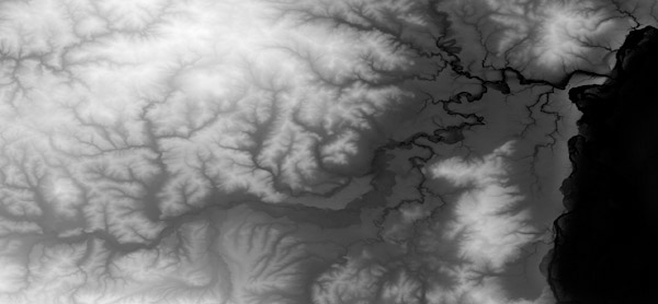
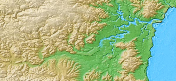
Theres a few of us into 3D terrain mapping and we write a few apps to help. Firstly there is a member here called 'Waldronate' who is also JoeS who writes Wilbur and I believe this app can convert USGS topo data into height field format. The download and tutorial for that is here.
http://www.ridgecrest.ca.us/~jslayton/tutorials.pdf
He has a CG tutorial with more on that here too.
http://www.cartographersguild.com/showthread.php?t=1160
I also write a 3D terrain viewer called DragonFlight3D. There are some static examples on RPGMapShare which were done off of the USGS topo database here...
http://rpgmapshare.com/index.php?q=gallery&g2_itemId=99
and more recently were all involved in the Cartographers Guild Cooperative Map Building Project which has its own thread forum. Anyway, much of that is done in 3D and so there are some data sets for the DragonFlight Viewer here also.
http://www.cartographersguild.com/sh...10&postcount=6
Theres a few of us here that are members of the Middle Earth DEM group for which myself and Seer are admins and the main site for that is www.me-dem.org on there are some workflow documents describing how to draw maps in 3D and convert data sets and lots more. So they are worth a look too.
'Anna' is another member doing Greyhawk using Bryce and 'Patrakis' has recently said he is doing Forgotten Realms Toril in 3D also.
I would hit the index under 3D & the award section for Wilbur tutorials and see what else you find.
http://www.viewing.ltd.uk/Temp/CG/In...word_Index.htm
Edit --
Should also mention that I make a simple 3D terrain creator which outputs height maps too. You can find that here :-
http://www.viewing.ltd.uk/cgi-bin/vi...nstant_islands
and Waldronate writes Fractal Terrains for which there are lots of tutorials on here too.
http://www.profantasy.com/products/ft.asp
There is also libnoise / terranoise
http://www.cartographersguild.com/showthread.php?t=1422
and terragen also which is geared up to creating and rendering photo real images of synthetic terrain.


 Reply With Quote


