Longtimenosee.
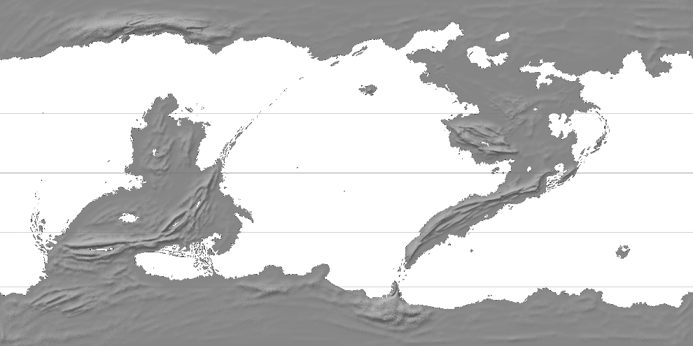
Recently I got the mapping bug again, so I decided to *this time* get some climates done (may Athė succour my suffering). I also did some modifications of my old base map, to make it seem more interesting and mappy, mostly by adding more geography.
(equirectangular, mountains are only approximate)
I realise that there's a lot of archipelago here. What can I say. Did you know that the Archipelago Sea off the coast of Finland is the largest archipelago in the world (if you count by islands)? It's probably true.
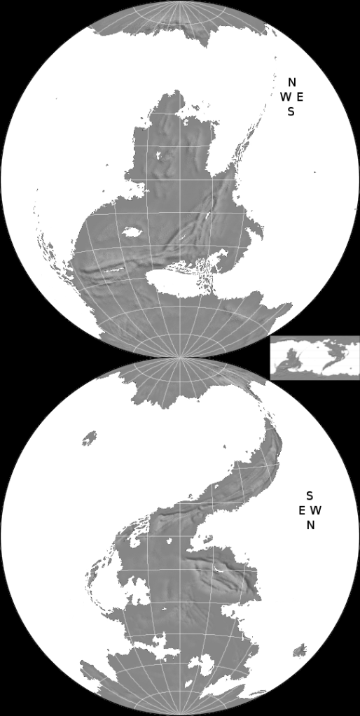
Like the last map I made, this one will be in-character. It will use a round azimuthal equal area projection (not the more old-timey stereographic as last time), which will be used to depict two hemispheres. The two half-globes will be arranged like this:
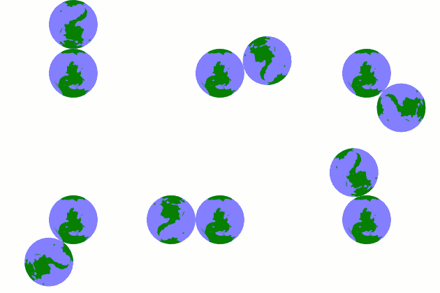
The edges will meet at the South Pole, instead of the sides, which means that the western hemisphere (which contains the northern continent) will be upside down, rotated 180 degrees. Here's a GIF to illustrate the logic:
I don't *think* anyone else has done it this way. It adds a bit of fantasy flavah to the whole thing.
The end result should be yet another printed or handwrought-looking map, so the mountains won't remain like the bumpmapped ones in the above maps, but will be drawn by hand, and there will be very little shading, and more old-timey dithering. I'm thinking of doing a variation of fantasymap mountains using long strings of mountains instead of single peak brushes (much like the "realistic" mountains at http://www.brodt.dk/peter/mount.html ). I will also endeavour to show some climate stuff by drawing appropriate flora and fauna, and I will also add some fantastical beasts onto it, including gryphon-like quadraped and feathered members of an animal family related birds, and four-horned ungulates. The old rivers (though well-policed) weren't based on any climate patterns, so those'll be remade.
On the sides there will be two astronomical maps: on the left side, three circles radiating from the middle, on which lie the three Moons of Ysi Earth, and on the right (to the East), a Tychonian model of the Ysi Sun, with the diverse planets that orbit it.
The map will either have two compass roses, or one combined compass rose looking like a Lorraine cross.
I'm making this topic before starting on the actual mapping part, and I will have to do the climates first. First will come stuff that'll be mostly done with projection converters, Inkscape and mouse, and when I get back to the City from the weekend, I will also have access to my tablet if I'm ready to draw mountains and foliage.


 Reply With Quote